The Paleoindian Database of the Americas
Regions
New Images
Georgia
| Shaded Relief Map | Black and White County Map |
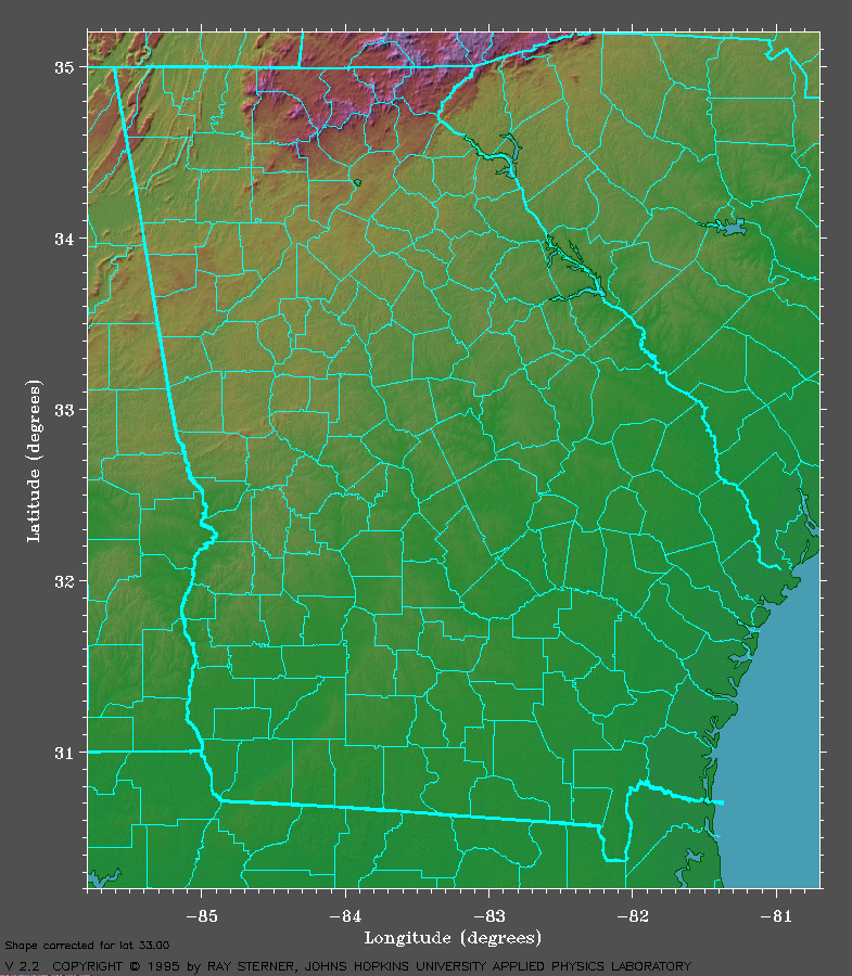 |
 |
| (Image
courtesy of the "Color Landform Atlas of the United States") |
(Image
courtesy of the U.S. Census Bureau) |
Please enter your search query as a number that is 1 to 4 digits long, with one optional letter after the number.
Available Range: 0001-1650
| Ledbetter, R. Jerald, David G. Anderson, and Scott C. Meeks 2008 Recording Paleoindian Projectile Points in Georgia. Current Research in the Pleistocene 25:89-91. |